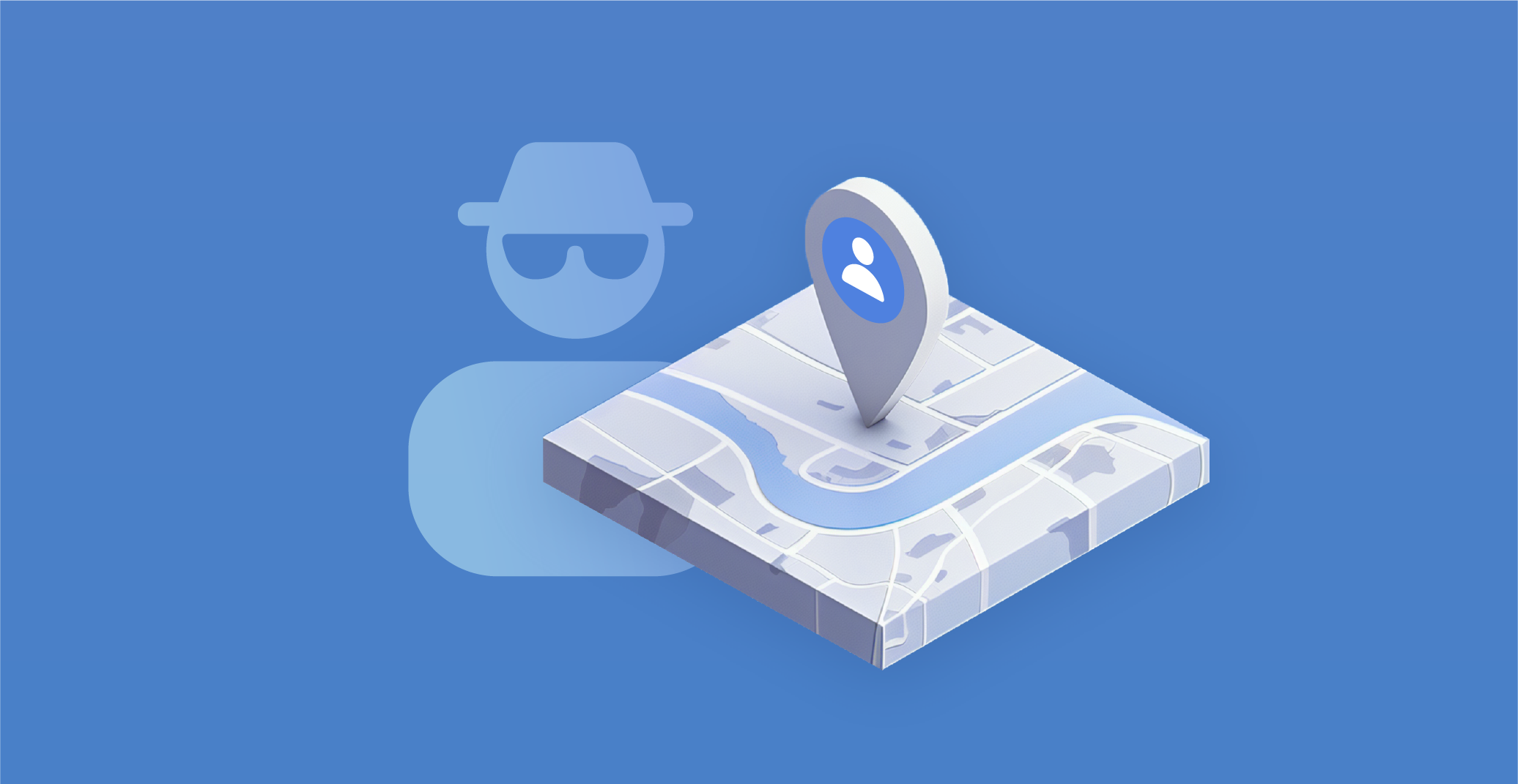
GEOINT and the Chamber of Secrets
The world has grown accustomed to social media, where users upload millions of images and videos daily. However, not everyone realizes that an innocent-looking selfie at work could be used by malicious actors to break into a company or that a hotel photo might lead to blackmail.
With the advancement of technology and the expansion of geospatial information systems, cybersecurity threats have also increased, demanding more careful consideration of the data being published. This article explores what GEOINT is, how criminals use your photographs for their purposes, and why people scrutinize Google Maps.
What is GEOINT?
GEOINT, short for "Geospatial Intelligence," involves the analysis and use of imagery and geospatial information to gain insights into activities on Earth. It combines several disciplines: cartography, charting, image analysis, and imagery intelligence. While traditionally associated with the military, geospatial intelligence is increasingly utilized by civilian sectors, including telecommunications, transportation, public health, safety, and real estate, to enhance daily life quality. In broader applications, geospatial intelligence is used for emergency planning, crime and security monitoring, and protecting critical infrastructure.
Technological advancements have brought a new era in geospatial intelligence. The advent of powerful analytical software, ubiquitous geolocation data, far-reaching broadband connections, rapidly developing computational power, affordable cloud storage, advanced analytics, and artificial intelligence have all played a role in the revolution of geospatial intelligence.
GeoGuessing
In the context of geospatial intelligence, the phenomenon of geo guessing is worth mentioning. The term comes from the name of the browser game GeoGuessr, launched in 2013. The game uses Google Street View maps, requiring players to guess the location of a street/alley/highway worldwide by marking it on Google Maps. Since 2015, the game has also been available as an iOS app.
The game has become so popular that competitions and tournaments are held. In 2023, the GeoGuessr World Championship finals were held in Stockholm with a prize pool of $50,000. Clues include road markings, languages on signs and plaques, animals and people in the frame, and other details. The most professional players can recognize a location on the map by a 3D image within seconds, requiring extensive time studying maps.
How criminals use GEOINT
An example of careless handling of personal information is found in an interview with Michael Oren, a former Israeli ambassador to the U.S. Attentive viewers noticed a note with login credentials in the background during the shoot from his home. Imagine the damage a criminal could cause in such a situation.
Be vigilant and cautious when sharing your photos on social media. Like any other information obtained through theft or leakage, data from open sources can be used by malicious actors. Here are some ways they exploit this information:
1. Phishing using geolocation
By determining your location, criminals can personalize phishing messages. For instance, if you're at a resort, you might not ignore a message supposedly from emergency services warning of dangerous weather conditions in the area.
2. Physical threats
Criminals can locate server centers or critical infrastructure and plan physical intrusions.
3. Espionage and surveillance
Malicious actors can use geodata to track people or organizations, monitor their movements, connections, habits, and even plans to exploit this information for their gain, such as crafting more convincing social engineering attacks or blackmail.
Overall, the use of geospatial intelligence by criminals poses a severe threat to data security, personal information, and critical infrastructure.
Law enforcement and GEOINT
On the flip-side, law enforcement agencies use GEOINT for investigations and apprehending criminals. For example, in 2019, Sacramento authorities arrested a drug dealer who sent potential buyers photos of marijuana on his hand. The fingerprints visible in the photo led to his identification.
Photographs can indeed serve as evidence in criminal cases. In spring 2023, a data leak from the Pentagon put U.S. National Guard member Jack Teixeira under suspicion. An investigation revealed that the leaked photos were taken in his home, as the edges of the photographs matched the interior.
The most frequent method of geospatial intelligence is analyzing images or videos to determine their location. Almost anyone can conduct basic geospatial intelligence using the internet and various services. For example, a jealous wife might deduce from her husband's social media photos that he is not on a business trip but visiting a lover.
Tools and services for GEOINT
Various services and tools are used for collecting data from open sources in geospatial intelligence. Here are some examples:
• Google Maps. A web mapping platform from Google offering satellite photos, aerial photography, street maps, interactive street views in 360°, and real-time traffic conditions.
• OpenStreetMap. An open collaborative project to create a free editable geographic database of the world.
• Soar Earth. A service for collecting and exploring satellite images, aerial photographs, and drone images.
• GeoHack Tools. This service provides a list of OSINT resources for the selected area on a map, including maps/satellite images, photographs, real-time weather, flight and maritime tracking, railways, peaks, and even fitness device data.
The range of geospatial intelligence tools is vast and continually expanding.
Final thoughts — protecting oneself
As we have explored, even innocent photos shared on social media can be exploited by malicious actors, leading to severe consequences such as unauthorized access, blackmail, or even physical threats. To safeguard against these threats, it is essential to:
1. Be vigilant with personal information
Avoid sharing sensitive data in photos, such as login credentials or identifiable locations, that can be exploited by criminals.
2. Control privacy settings
Regularly review and adjust the privacy settings on social media platforms to limit the visibility of your posts to trusted individuals.
3. Use geotagging wisely
Disable geotagging on your devices when sharing photos publicly, as location data can be a significant security risk.
4. Leverage security tools
Utilize available security tools and services to monitor and protect against unauthorized use of geospatial data.
By taking these proactive steps, individuals and organizations can better defend themselves against the growing threats posed by the misuse of geospatial intelligence.
